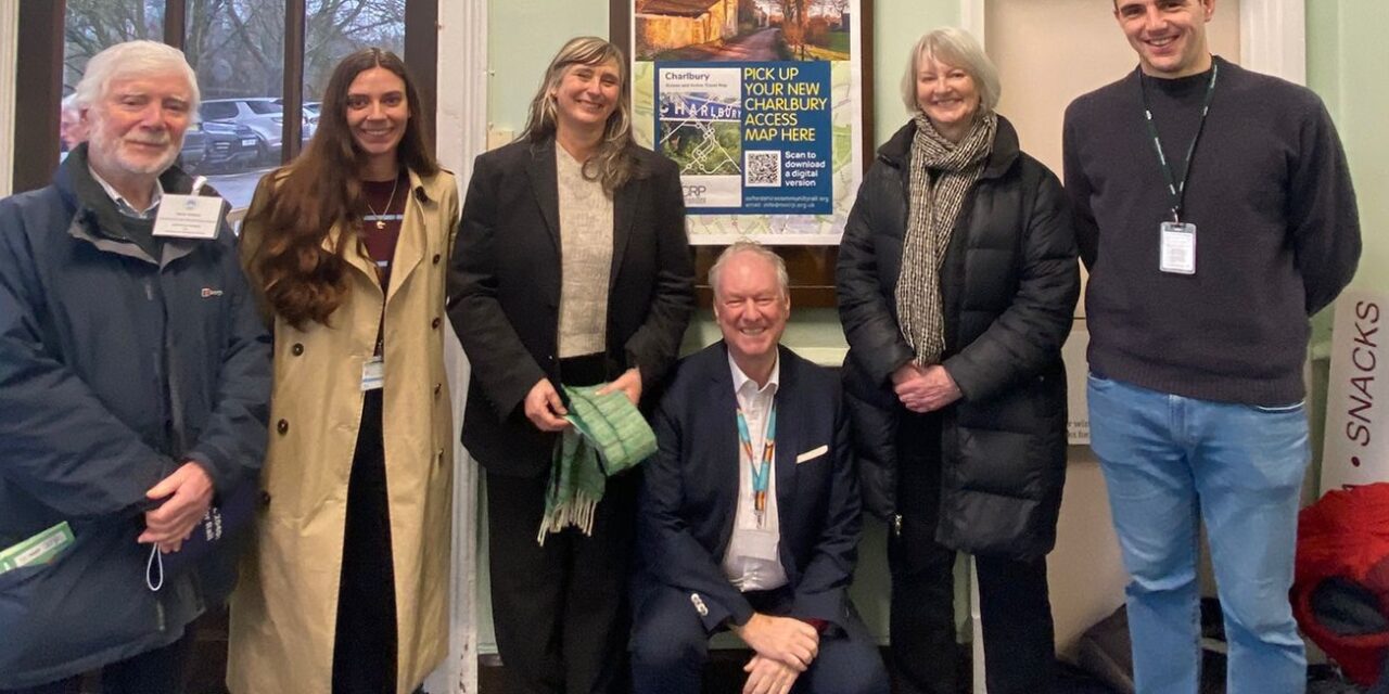
Oxfordshire Community Rail Partnership (OxCRP) has launched a new Charlbury Access and Active Travel Map at Charlbury Station, designed to make it easier for residents and visitors to plan journeys that combine rail with walking, cycling and onward travel.
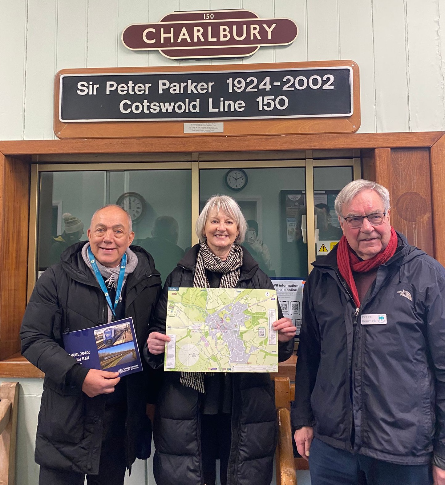
Launching the map, Cllr Liz Leffman, Leader of Oxfordshire County Council and councillor for Charlbury and Wychwood, said: “This new Charlbury Access and Active Travel Map is a great example of what we can achieve when local partners work together to make sustainable travel simpler. By joining up rail with clear walking, cycling and onward travel information, it helps residents and visitors plan their journeys with confidence and make the most of what Charlbury and the surrounding area has to offer. We’re proud to have worked with Oxfordshire Community Rail Partnership on a resource that supports a more connected, accessible transport network.”
The map brings together practical information in one place, including cycle routes, walking routes and leisure trails, plus onward travel details such as bus services, car hire and local taxi information. It also highlights station facilities and accessibility support, including how to book assistance through Passenger Assist.
Peter Kenrick, Charlbury Town Council, said: “As a Walkers are Welcome town, Charlbury is keen to encourage visitors to use the train to explore our historic town and enjoy walking in the Cotswolds landscape. The new Charlbury Access Map produced by OxCRP is an excellent resource for visitors and local residents, and it complements our own Walkers are Welcome map of recommended walks through the countryside. Many thanks to the OxCRP team and all who supported the creation of this map.”
GWR Senior Community Impact Manager, Emma Morris, said: “Great Western Railway is proud to support the Charlbury Access and Active Travel Map, helping customers and members of the local community link rail with walking, cycling and onward travel. By making journeys clearer and more accessible, we’re enabling greener choices, boosting confidence and connecting communities with everything Oxfordshire has to offer for residents and visitors.”
Charlbury is a popular starting point for exploring the area by bike, with National Cycle Route 442 linking Charlbury with parts of the Cotswolds. The map also includes walking and cycling travel times from the station to key local places, helping people choose routes that suit their needs.
As Hannah McDonnell, Executive Director of Gloucestershire and Oxfordshire Community Rail Partnership, explained, the aim is to make the final part of a journey feel straightforward: “Access maps are about confidence, giving people the information they need to get from the train to where they’re going, in a way that works for them. This Charlbury map is a practical tool for local people and visitors, and it’s been made possible thanks to funding support from Oxfordshire County Council and Great Western Railway.”
The Charlbury Access and Active Travel Map
Now available to view and download from OxCRP’s Access Maps resource page: Click here!
For more information, contact OxCRP at info@oxcrp.org.uk.
…
Love to travel?
You might like Travel Life magazine. Check out a sample issue here or visit the website at www.travellifemag.co.uk
…